Today was the annual Pin Mill Barge Match. I didn't quite arrive in time for the start, but found plenty of action in Harwich harbour.
looking south east out of Harwich harbour
The barges are a majestic sight, especially as they mix with their modern day equivalents - container ships!
Trinity docks as a backdrop
Harwich and the entrance to the Stour
Barges at play, out at sea
towards Landguard point
entering Harwich harbour
Walton on the Naze in the background
For me, this was a pleasing warm-up for the main event, which was a trip to Roughs Tower. (It doesn't get an apostrophe on the map either).
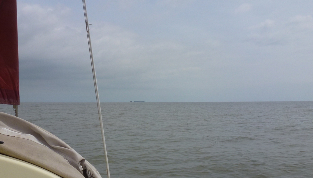
Roughs Tower, half-way there, looking east, with approaching container ship in the further distance
End elevation, from the south
front view (Felixstowe Docks in the distance)
Other end elevation (from the north)
I'll leave wikipedia to chart this history of this strange edifice, firstly by detailing its original purpose and then its bizarre recent history. Situated 8 miles east of Harwich, out at sea, this place needs a calm day and little wind to entice me, which is why I nearly always end up motoring there and back. On this occasion, both legs were achieved by 'motor-sailing', but I was glad finally to be shot of the motor, back in Harwich.
Once back at the mooring, it was time to reflect on a long trip....
30.7nm; season's total: 227.1nm
.... and to marvel, once more, at the spectacle of those barges...
Another bank holiday, another chance for a sail. Arose at 5am, motored down to the coast, and was casting off from the mooring soon after 7am. The weather was calm, a gentle northerly breeze promised much, and certainly did well for the first two and a half hours, enabling me to reach most of the distance to Rough's Tower. Thereafter, mostly motor sailing whilst the fickle wind worked out what it wanted to do...
Rough's Tower
Rough's Tower is an extraordinary monument from WWII, during which it was apparently created to defend the port of Harwich. Since then, it has been passed through various hands and is currently a self-declared Principality of Sealand. The wikipedia link says it all, really...
Anyhow, several miles off the Suffolk Coast, this makes a good target for a sail in benign conditions!
Naze Tower
Following Rough's Tower, I thought I'd take in another tower - this time the Naze Tower. En route, I had to dodge the Cork Sands which explains the rather strange track below.
Photographing this tower was rather trickier, given the general haziness of the day, so this link should provide a better idea of what its about. This splendid octagonal structure was built in the 18th century as a marker for ships - before lighthouses were invented, one imagines.
This is a log of sailing activities aboard Daisy II, a 22ft Drascombe Coaster No.280. Formerly named Aquarius, she was built in July 1997 by Honnor Marine(UK) Ltd of Totnes, Devon. The original Daisy, a Devon Lugger, was purchased in 2005 following an unexpectedly early opportunity to realise a mid-life crisis! Daisy II, with cabin, afforded more scope for overnight stops, and was purchased at the end of 2006.
For several seasons she was moored at Pin Mill on the River Orwell, Suffolk. More recently, the trailer sailing option, utilising a versatile ‘roller coaster’ road trailer, has extended the sailing range. Over the years, we have sailed from various locations off the south coast from Cornwall to Hampshire, a number of inland reservoirs and the Norfolk Broads. However, her key stamping ground is the east coast, usually based around the Harwich area and reaching destinations ranging from North Kent up to Southwold, whilst also launching on the North Norfolk coast at Wells next the Sea. Most recently, a trip from Harwich to Whitby has served only further to whet the appetite: perhaps, one day, Daisy II might complete her journey, in small stages of course, around the UK!